At the edge of history there is a story
At the edge of history there is a story. I have imagined this project as composing a great story. Stories are why we live and do what we do.
A successful balloon launch becomes a successful mission when the payload is recovered. Across the course and then with the eclipse launch, we aspired not simply to fly the payloads, but to recover them. Four launches in Iceland. Zero recoveries.
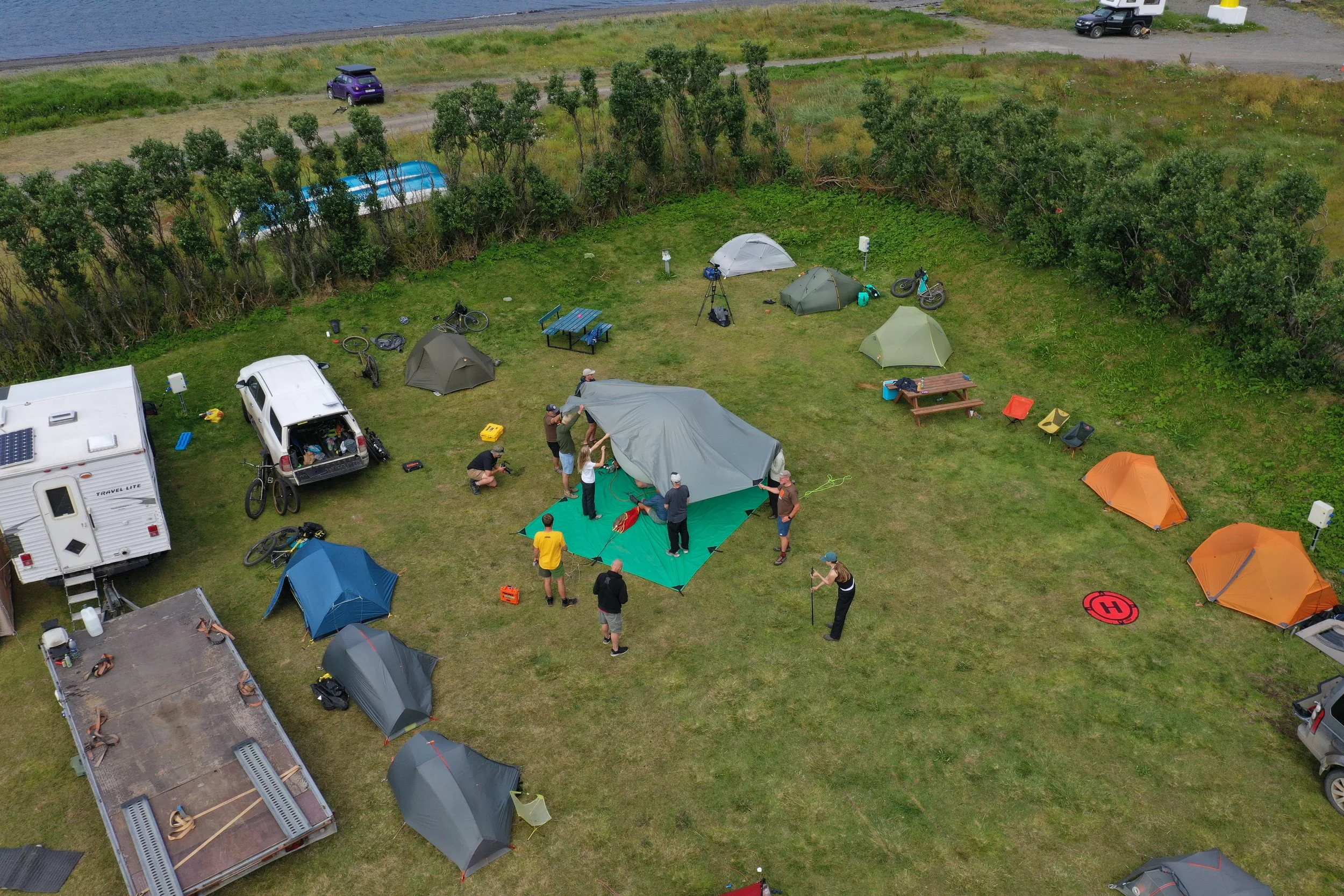
Leading up to the launch in the Westfjords, the Path of Totality crew, which at that point included Kate, Kenyon, Jackson, Jacob, Brooks, Gary, Dan and me, was discovering the potency of the eclipse launch as a way of imagining the completion of the ride.
On August 9, I had planned to break away from the team and, with Mark, Aaron, Tim, Lucas and Emmi, take two vehicles north to attempt to recover the student payload launched from Þingvellir on July 12. That morning, I did the math. I estimated an eight-and-a-half-hour drive, followed by a ten-hour hike and search on foot, and then another eight-and-a-half-hour drive back to the Westfjords. We were most likely looking at a three-day recovery mission.
The eclipse was in three days. We still needed to scout a launch site and prepare. We would also have been leaving the riding crew without a vehicle that, by then, had become part of the expedition’s infrastructure.
Aaron’s view, as our atmospheric scientist, was that attempting to recover the northern payload was more important than conducting the eclipse launch. I got it, but I chose the eclipse launch over the recovery mission. Decisions, decisions, right?!
We successfully launched the eclipse balloon from Iceland’s Westfjords. Within perhaps 35 to 45 minutes, it entered the stratosphere carrying an Insta360 camera and, of course, an SD card that may contain a unique video recording of the eclipse above the cloud deck. During the flight, however, the SPOT Trace stopped reporting and never resumed.
After the tracker went silent, we ate and then took two vehicles out to search. Using its last reported position, the projected flight path and the available wind data, we drove roads close to where we believed the payload might have traveled. For four hours, we crawled along, visually scanning the hills that rose two thousand feet from the two fjords, looking for a bright red-and-yellow parachute.
The predicted landing zone was immense. If the payload landed on land, it may have come down several miles from the nearest road in rugged terrain. A small box and collapsed parachute could disappear among rocks, vegetation, streams or folds in the landscape. Even after searching, we could not know whether it was just outside the area we covered or many miles away.
It may also have landed in the ocean. Toward the end of our search, the water was a black vastness. If the payload became submerged, the SPOT could no longer communicate. Even if it initially floated, wind and currents could quickly have carried it away from the predicted splashdown point. Without another tracker, we could not determine whether the payload was somewhere on land or beneath the water.
Without a final ping, the eclipse payload was extraordinarily difficult to find. We had its last reported position and a projected flight path, but any prediction depends on estimated winds, ascent rate, burst altitude and descent rate. Small errors accumulate, potentially shifting the landing point by miles.
Aaron believed that if I had allotted additional days in the Westfjords for a longer search, we might have located the eclipse payload.
The SPOT tracker had worked in Iowa. It also gave us the final locations of two earlier Iceland payloads - one in northern Iceland and another on Vatnajökull, Europe’s largest glacier. Those payloads may be very difficult, or even impossible, to retrieve, but we know where they are. A third test payload transmitted only briefly.
Those results are important. They show that SPOT can work in Iceland. They also show that it was not consistently reliable enough to serve as our only means of recovery. A system can work several times and still represent a single point of failure when the next payload carries irreplaceable scientific data.
We do not know why the SPOT stopped reporting. Its GPS may have encountered the common altitude restriction around 30,000 feet, although it should normally have resumed reporting during descent. Stratospheric cold may have affected the batteries. The tracker may have been damaged, separated from the flight train, landed with its antenna facing the ground or become submerged.
Iceland’s northern latitude and terrain may also have contributed. SPOT uses the Globalstar satellite network. Iceland is within Globalstar’s stated coverage area, as demonstrated by the two payload locations we successfully received. But Iceland lies near the northern edge of that network’s practical coverage.
Globalstar satellites orbit at an inclination of approximately 52 degrees, while Iceland lies between roughly 63 and 67 degrees north. Consequently, the satellites do not pass directly overhead. Instead, they appear primarily in the southern sky. At their closest, they may reach elevations of approximately 25 to 40 degrees above the horizon, depending on the observer’s location, not necessarily extremely low, but well short of overhead.
That geometry may be adequate while a payload is high above the landscape. It becomes less dependable after the payload lands among mountains, cliffs or deep valleys, particularly if the tracker is poorly oriented or its view of the southern sky is obstructed. Globalstar describes its coverage as extending to approximately 70 degrees north, placing Iceland close to that boundary.
The northern latitude alone did not cause the failure. Terrain, payload orientation, cold, altitude, damage or immersion may each have contributed. We simply do not know. What we do know is that the third test flight and the eclipse flight demonstrated that SPOT was not consistent enough to be our sole means of locating a payload in Iceland.
In hindsight, my central mistake - and it was my call, and something I had considered - was allowing one tracker using one satellite network to become the mission’s single point of failure.
If I were to do future launches in Iceland, an Iridium-based tracker would likely be the better primary system that far north. Iridium provides pole-to-pole coverage, more favorable satellite geometry at northern latitudes and two-way communication that can confirm whether messages have been received.
Iridium alone, however, is not redundancy. A future payload should carry two independently powered tracking systems, preferably operating through different satellite networks, along with a local radio beacon. The GPS receivers must be designed for balloon altitudes, and the electronics must be protected from extreme cold. Where an ocean landing is possible, at least one tracker should be waterproof, buoyant and able to remain oriented toward the sky.
The eclipse launch itself succeeded. The balloon entered the stratosphere, and the camera and instruments may have recorded exactly what we hoped to capture. But despite searching, we were unable to recover the payload. Without an independent second way to locate it, that record remains somewhere in the Icelandic landscape, or in the ocean.
The lesson is straightforward: a successful flight becomes a successful mission only when the payload can also be recovered.
At the edge of history there is a story.